Geographic Information System
Aksara WebGIS is a toolkit that can be used to create web-based mapping visualizations that are full-featured and easy to operate.As a Data Spatial VisualizationUsers can see whether their area is close to public transportation or not by selecting the Loca...
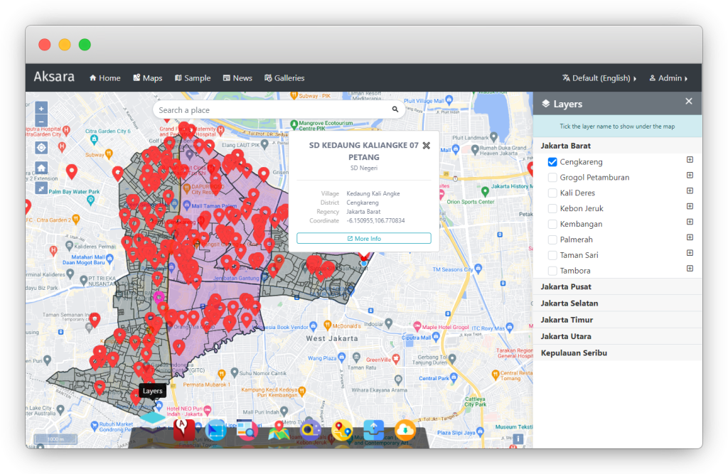
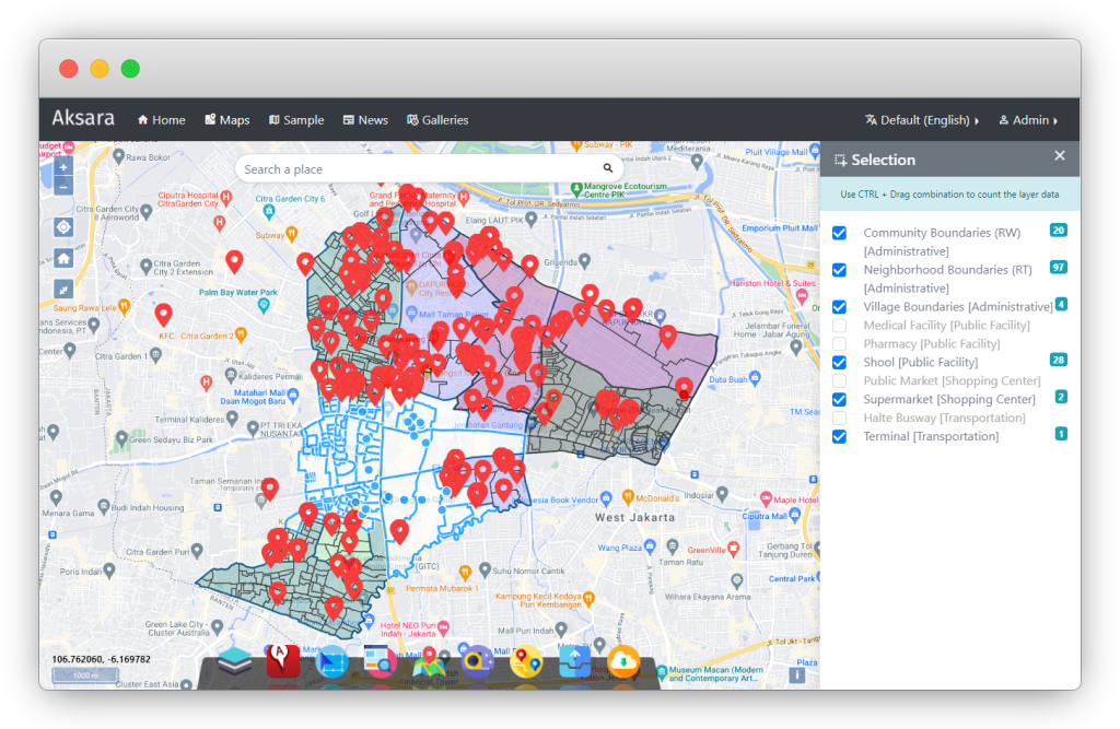
As a Data Spatial Visualization
Users can see whether their area is close to public transportation or not by selecting the Location Near You tool.Seeing the Potential Areas
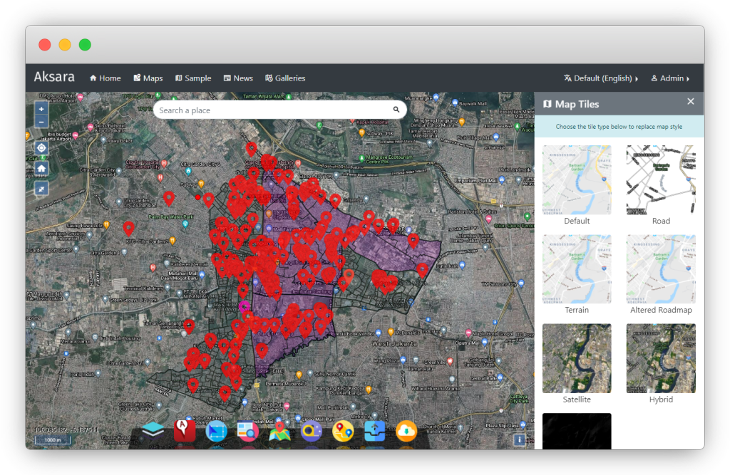
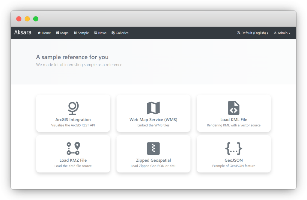
You can immediately see how the Spatial Layout is arranged, directly with the Spatial Information you get.The Aksara WebGIS can be integrated with ArcGIS that can be used by the general public to find out the spatial plans in their area of residence.
Downloading Documents or Regulation
The Aksara WebGIS can be useful for potential investors who want to invest in being able to preview the zoning regulations and simulation of their regulations in the area.Flexibility of Access
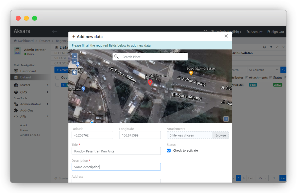
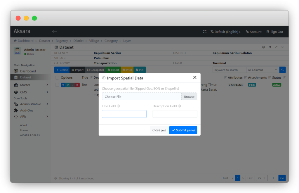
Users are allowed to collaborate their data into the Aksara WebGIS by selecting the Collaborate Your Data tool.
Complete and AccurateUsers can simulate zoning based on regulations that have been set regarding activities that are allowed, allowed conditionally, allowed limited or prohibited.
With the tools available in this application, users can view search results based on the information needs of each user.
Screenshot